···
Aerial view of the Beauduc coast and beach, inland salt pans have been abandoned as the seawater flows onto the land more and more frequently, Salin de giraud, Camargue, Southern France Image details File size:
53.8 MB (1.9 MB Compressed download)
Open your image file to the full size using image processing software.
Dimensions:
5318 x 3536 px | 45 x 29.9 cm | 17.7 x 11.8 inches | 300dpi
Search stock photos by tags
Similar stock images RM M152H8 – France, Bouches du Rhone, regional natural park of Camargue, Arles, Beauduc beach (aerial view) RM M152AK – France, Bouches du Rhone, regional natural park of Camargue, Arles, Beauduc beach (aerial view) RM M152H7 – France, Bouches du Rhone, regional natural park of Camargue, Arles, Beauduc beach (aerial view) RM R8YTDR – France, Bouches du Rhone, Camargue Regional Nature Park, Saintes Maries de la Mer, Beauduc beach, Galabert pond in the background (aerial view) RM M152H9 – France, Bouches du Rhone, regional natural park of Camargue, Les Saintes Maries de la Mer, Pointe de Beauduc, or Sablon in the background (aerial view) RM T828C7 – France, Bouches du Rhone, Camargue Regional Natural Park, Saintes Maries de la Mer, Pointe de Beauduc, or Sablon in the background (aerial view) RM M152GM – France, Bouches du Rhone, Parc Naturel regional de Camargue, Arles, Pointe de Beauduc or du Sablon (aerial view) RM R8YTGB – France, Bouches du Rhone, Camargue Regional Nature Park, Saintes Maries de la Mer, Beauduc Beach, Tellin fishing (aerial view) RM R8YTGD – France, Bouches du Rhone, Camargue Regional Nature Park, Saintes Maries de la Mer, Beauduc Beach, Tellin fishing (aerial view) RM T828JJ – France, Bouches du Rhone, Camargue Regional Nature Park, Saintes Maries de la Mer, Beauduc Beach, Tellin fishing (aerial view) RM M152AB – France, Bouches du Rhone, Parc Naturel regional de Camargue, Arles, Beauduc (aerial view) 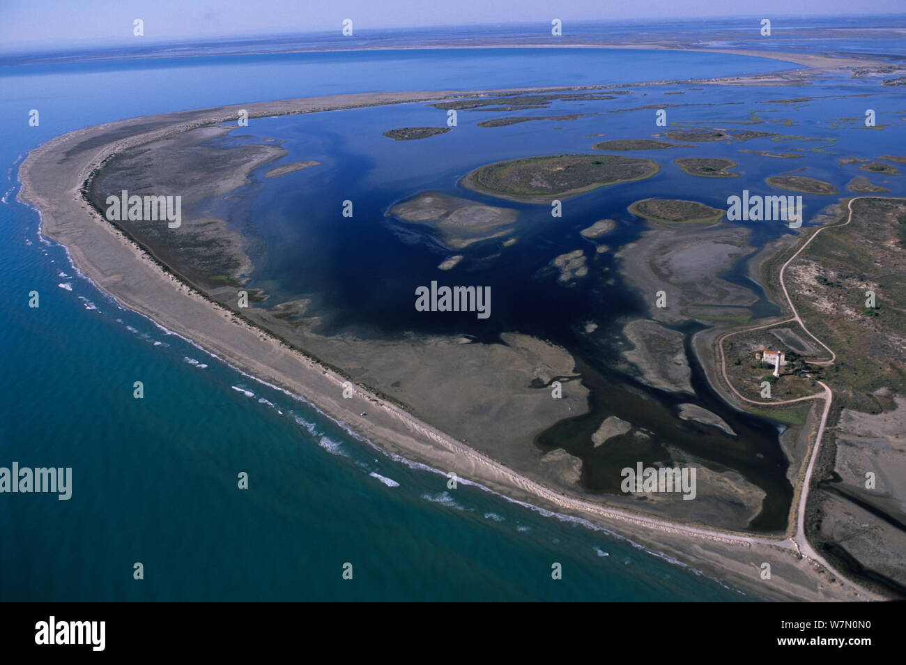