Château de Gachepouy
Château de Gachepouy is a castle in Castet-Arrouy, Arrondissement of Condom, Occitanie. Château de Gachepouy is situated close to the villages Miradoux and Plieux.Photo: Renhour48, CC BY-SA 4.0.
Notable Places in the Area
Église Sainte-Blandine de Castet-Arrouy
Church

Photo: Ww2censor, CC BY-SA 4.0.
Église Sainte-Blandine de Castet-Arrouy is a church situated 1½ km west of Château de Gachepouy.
Église Saint-Orens-et-Saint-Louis de Miradoux
Church

Photo: F123, CC BY-SA 4.0.
Église Saint-Orens-et-Saint-Louis de Miradoux is a church situated 2½ km northeast of Château de Gachepouy.
Château de Plieux

Photo: 1banaan, CC BY-SA 2.0.
Château de Plieux is situated 4 km south of Château de Gachepouy.
Localities in the Area
Miradoux
Village
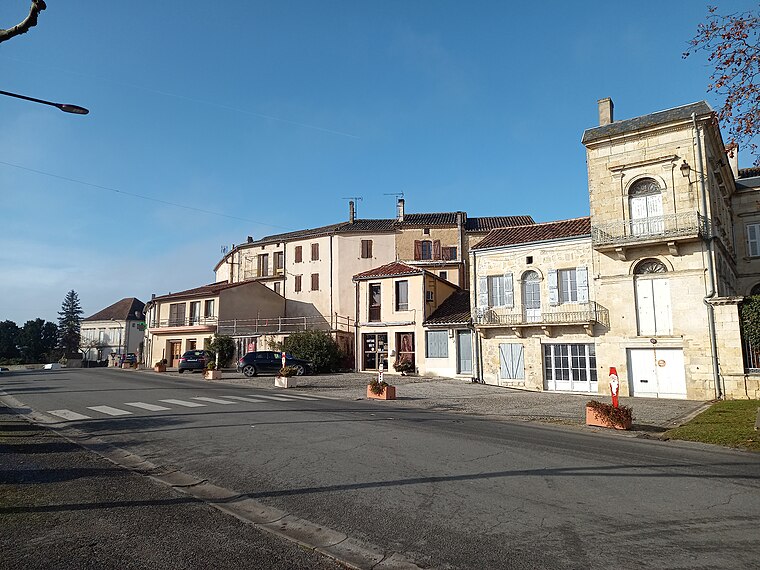
Photo: F123, CC BY-SA 4.0.
Miradoux is a commune in the Gers department in southwestern France.
Plieux
Village

Photo: Renaud Camus, CC BY-SA 2.0.
Plieux is a commune in the Gers department in southwestern France. Plieux is situated 3½ km south of Château de Gachepouy.
Flamarens
Village

Photo: F123, CC BY-SA 4.0.
Flamarens is a commune in the Gers department in southwestern France. Flamarens is situated 6 km northeast of Château de Gachepouy.
Château de Gachepouy
- Type: Castle
- Categories: château, building, historic site, tourist attraction and tourism
- Location: Castet-Arrouy, Arrondissement of Condom, Gers, Occitanie, France, Europe
- View on OpenStreetMap
Latitude
43.98451° or 43° 59' 4" northLongitude
0.73501° or 0° 44' 6" eastOpen Location Code
8FM2XPMP+R2OpenStreetMap ID
way 66523864OpenStreetMap Feature
building=yesOpenStreetMap Feature
historic=castleWikidata ID
Q15944340Château de Gachepouy Satellite Map
© OpenStreetMap, Mapbox and Maxar
Also Known As
- French: Château de Gachepouy
- French: château de Gachepouy
Landmarks in the Area
- Château de FieuxCastle, 1½ km north
- Mairie de Castet-ArrouyTown hall, 1½ km west
- Centre d'incendie et de secours de MiradouxFire station, 2 km northeast
- Gendarmerie nationalePolice station, 2 km northeast
- MiradouxPost office, 2½ km northeast
Places in the Area
- GachepouyResidence, 230 metres southeast
- BordesResidence, 550 metres northeast
- Au BourdieuResidence, 690 metres southwest
- Au Petit CouillanResidence, 1 km south
- Pourrin de BasResidence, 1¼ km northeast
Popular Destinations in Gers
Discover Auch, Mirande, Marciac and Saint-Mont.
Escape to a Random Place
Discover other castles in the world.
About Mapcarta. Thanks to Mapbox for providing amazing maps. Data © OpenStreetMap contributors and available under the Open Database License. Text is available under the CC BY-SA 4.0 license, excluding photos, directions and the map. Photo: Renhour48, CC BY-SA 4.0.