Château des Fours
Château des Fours is a castle in Marignac, Arrondissement of Castelsarrasin, Occitanie. Access is restricted, only with permission.Notable Places in the Area
Château d'Avensac
Castle
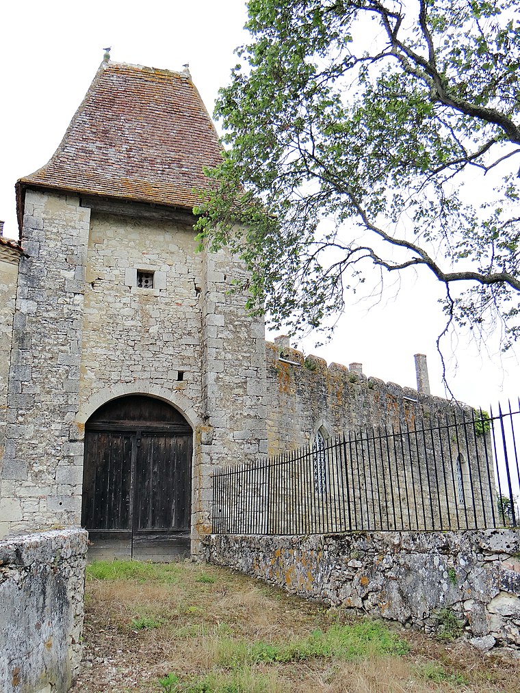
Photo: MOSSOT, CC BY-SA 3.0.
Château d'Avensac is a castle situated 2½ km south of Château des Fours.
Église Saint-Cyr-et-Sainte-Julitte de Cumont
Church
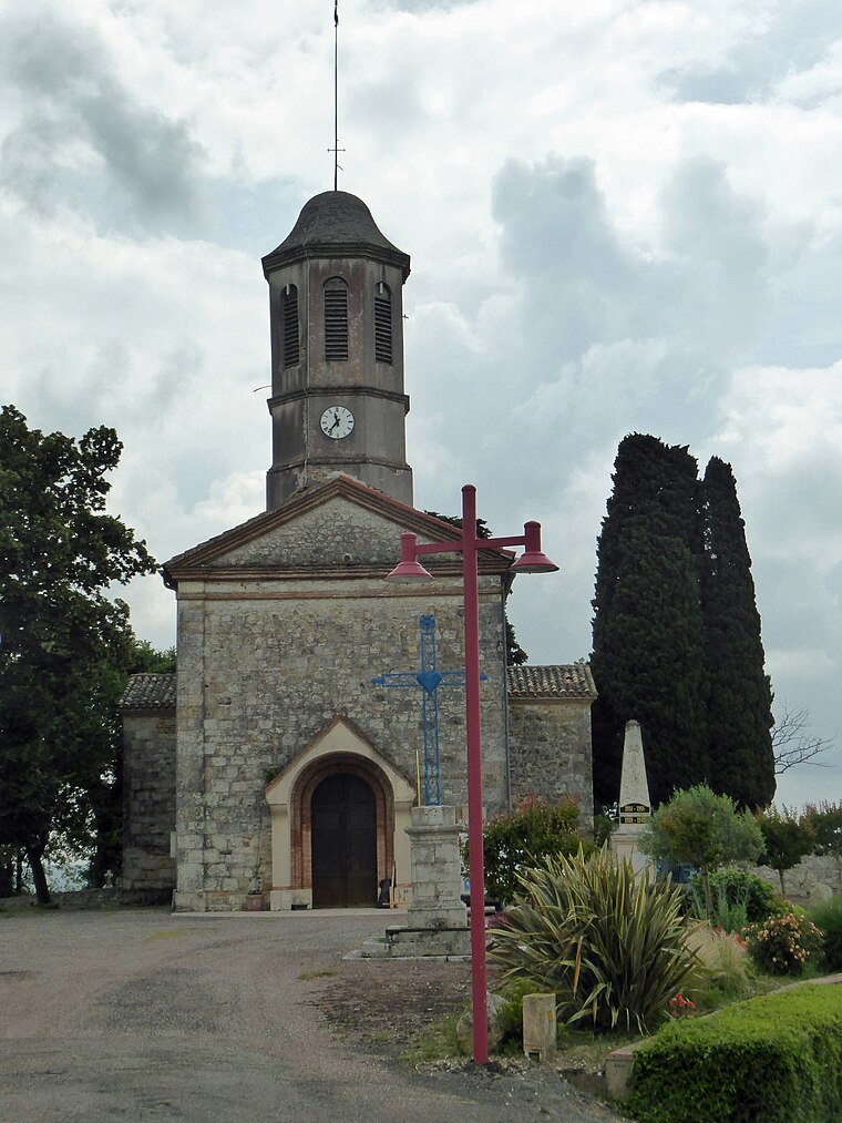
Photo: WCOMFR, CC BY-SA 4.0.
Église Saint-Cyr-et-Sainte-Julitte de Cumont is a church situated 2 km north of Château des Fours.
Église Saint-Orens de Lamothe-Cumont
Church

Photo: Bastien.pierre, CC BY-SA 4.0.
Église Saint-Orens de Lamothe-Cumont is a church situated 2½ km north of Château des Fours.
Localities in the Area
Avezan
Village

Photo: MOSSOT, CC BY-SA 3.0.
Avezan is a commune in the Gers department in southwestern France. Avezan is situated 10 km west of Château des Fours.
Château des Fours
- Type: Castle
- Access is restricted, only with permission.
- Categories: château, building, historic site, tourist attraction and tourism
- Location: Marignac, Arrondissement of Castelsarrasin, Tarn-et-Garonne, Occitanie, France, Europe
- View on OpenStreetMap
Latitude
43.85493° or 43° 51' 18" northLongitude
0.9125° or 0° 54' 45" eastInception
15th centuryOpen Location Code
8FM2VW36+XXOpenStreetMap ID
way 406415183OpenStreetMap Feature
building=yesOpenStreetMap Feature
historic=castleWikidata ID
Q22940179Château des Fours Satellite Map
© OpenStreetMap, Mapbox and Maxar
Also Known As
- Catalan: Castell des Fours (Cucmont)
- Catalan: Castell des Fours
- French: Château des Fours
- French: château des Fours
Landmarks in the Area
- Église Saints-Pierre-et-Paul de MarignacChurch, 1½ km south
- Église Saint-Éparque de GimatChurch, 2½ km east
- Pigeonnier des PoutéousBuilding, 2½ km west
- Église Saint-Jean-Baptiste d'AvensacChurch, 2½ km south
- Église Saint-Saturnin de PessoulensChurch, 2½ km west
Places in the Area
Popular Destinations in Tarn-et-Garonne
Discover Moissac and Saint-Antonin-Noble-Val.
Escape to a Random Place
Discover other castles in the world.
About Mapcarta. Thanks to Mapbox for providing amazing maps. Data © OpenStreetMap contributors and available under the Open Database License. Text is available under the CC BY-SA 4.0 license, excluding photos, directions and the map. Photo: Inkey, CC BY-SA 3.0.